THE ROAD TO CHIMBORAZO – THIRD STOP ILINIZA NORTE
NILS
Come with me to THE ROAD TO CHIMBORAZO – THIRD STOP ILINIZA NORTE.
A couple of weeks ago, a friend and I decided that we wanted to attempt climbing Ecuador’s highest mountain, Chimborazo. With an altitude of 6300 meters above sea level this mountain is an actual giant. Therefore, it was clear from the beginning that prior preparation is needed. For that reason we planned to climb at least one volcano the 3 weeks prior to our desired assent to Chimborazo. This volcanoes are namely Rumiñahui (4631m), Imbabura (4630m) and Iliniza Norte (5126m).
This weeks challenge was called Iliniza Norte, ine of two volcanoes located about 1.5 hours south of Quito. Since new laws require a certified mountain guide when climbing peaks above 5000 meters, we hired a guide we met in Ibarra last weekend.
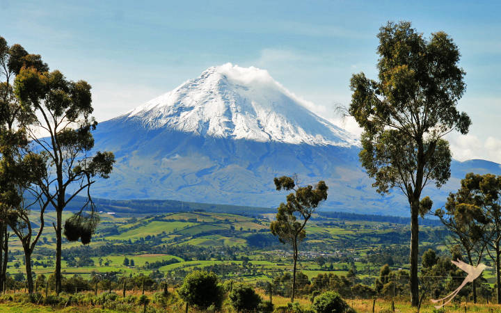
We met at 7 a.m. in the valley “Los Chillos” where our guide and his dad picked us up. From there we drove about an hour until we reached the little village of Chaupi. The weather was amazing and we were lucky enough do enjoy a clear view on beautiful Cotopaxi. We drove up the muddy road until we reached a parking lot at around 3900 meters, dropped the car and started our ascent.
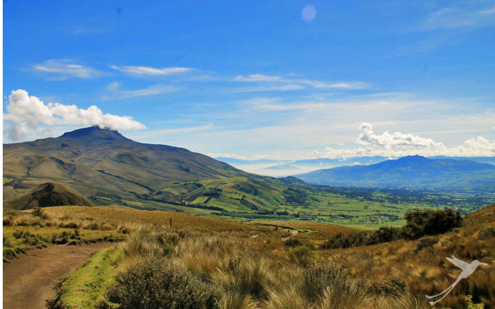
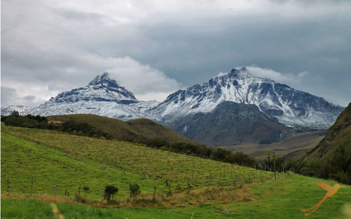
The first 2 hours we went along a rather well marked path with beautiful plants all around us. Besides that, the view towards the Corazon volcano and the valleys looked amazing (picture below). Walking along the path was not too challenging. However, our guide recommended to take another way than the standard route because “It is way more fun!”. That route turned out to be the direct way up the steepest part of the mountain and even though it was shorter it was certainly not easier.
Nevertheless, we had agreed and already reached the point where it was not worth it to return. So there we were hiking up the sandy side of the mountain. To be honest that part was horrible since I did not feel that I was making process at all due to the sand which slipped under my feed. For every two steps I took I slipped down one again. However, after about 1.5 hours we reached the final part of the ascent which was mostly characterized by sharp volcanic rocks. Aside from the ever rising altitude, this terrain was way easier to come across even though this part included more climbing than hiking. Another hour later we reached the summit.
At 5126 meters above sea level, this was the highest point I ever stood on. I noticed that the training over the past weeks really paid off since I didn’t have trouble breathing at all.
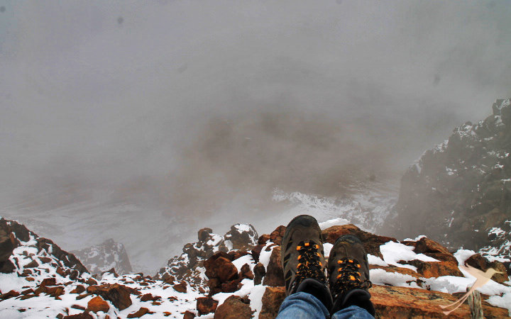
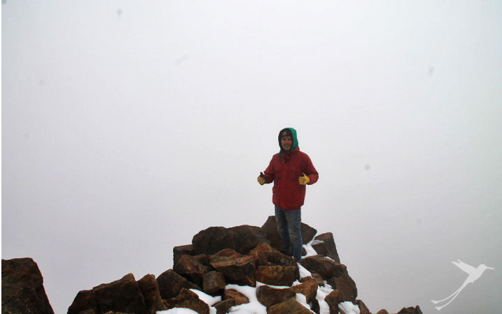
So we started our descent. Going down the same path as we came up was rather easy since you could kind of slide down on the loose sand without too much care. Unfortunately, the mix from snow became harder and harder and obviously the further we descended, the wetter it got. Soaking wet and tired we reached the parking lot at approximately 4.30 p.m. and from there we left towards Quito.
This hike was definitely the sketchiest one, especially at the top I felled quite anxious. In addition, physically it was also the hardest hike I have done so far. Nevertheless, I think by pushing even harder and motivating each other we have a good chance of making it to the top of Chimborazo. However, this is not entirely up to us since weather conditions at that altitude can be quite extreme.
So with that I am saying goodbye and I hope I can come back to you with another successful post about next weekend when we reach the end of The Road to Chimborazo. Cheers!
visit our other channels
Recent Posts
- Yasuni National Park – 4 Days at Sani Lodge. Experience Report Part 2 April 18, 2025
- Yasuni National Park – 4 Days at Sani Lodge. Experience Report Part 1 April 4, 2025
- Travel Tip Peru – Trujillo March 21, 2025
- Galapagos Travel: Everything You Need to Know for Your Trip March 7, 2025
- Travel Tip Peru – Machu Picchu February 21, 2025