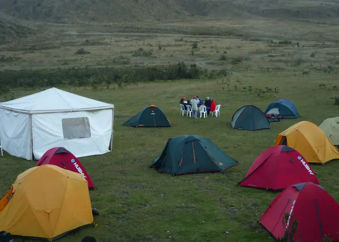
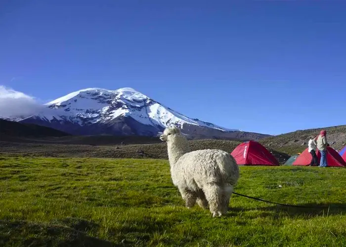
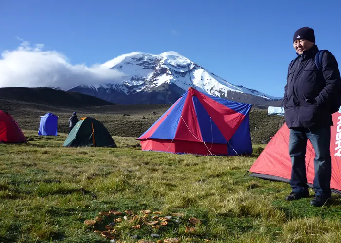

The guide and transport will pick you up at the previously indicated site and drive from Quito to the head of the trail called “El Tambo” (3627 m / 11.900 feet), in the middle of the eastern Andes mountain range. From a Paramo landscape it changes to a dense and evergreen cloud forest. You will start the hike along a bridle path, over a swampy area and up to the Potrerillos pass (3947 m / 12,950 feet), then descend through a valley densely covered with “páramo” vegetation to the Volcano Lagoon, where the first camp will be established (3642 m / 11.950 ft)
Here a beautiful view opens up over an ancient black lava flow that flows into the Laguna del Volcan. Perhaps you will discover some of the ten different types of orchids together with your guide.
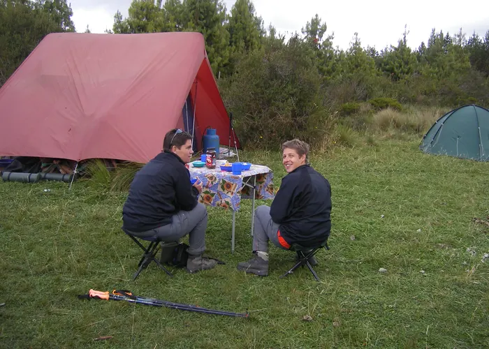
An equestrian guide with his horses and a cook will take care of your luggage, tents, camping equipment and your physical well-being.
Ascent: 311 m (1,023 ft) / Descent: 308 m (1,010 ft) / Max Altitude: 3947 m (12,950 ft)
Activity duration: 4-5 h
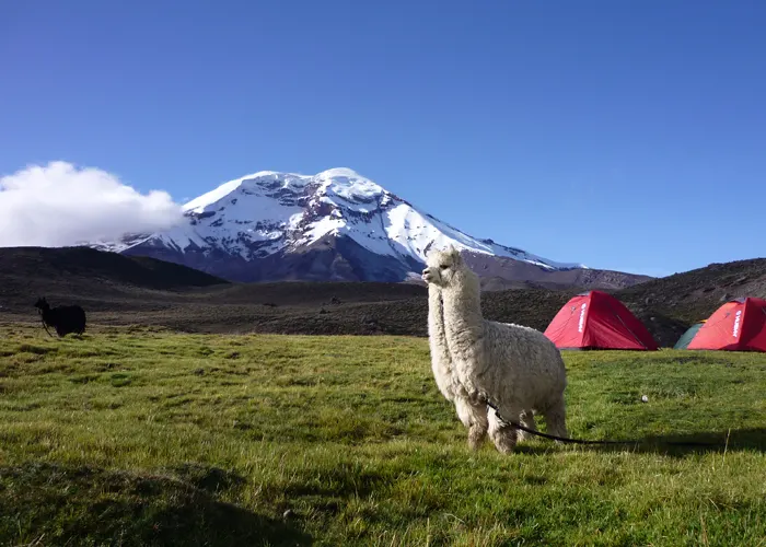
 Overnight in tent
Meals included: Breakfast | Lunch | Dinner
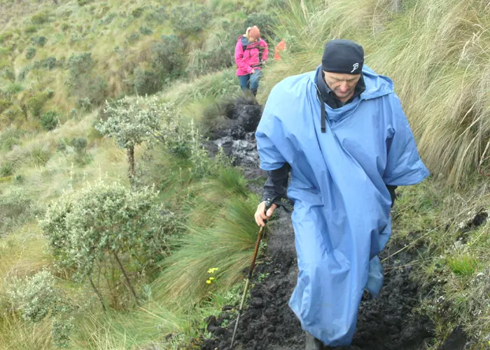
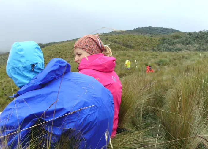
Today is the longest day of ascent on the route, so it is essential to get up early. Enjoy an Andean breakfast and follow a well-marked trail (this trail gets muddy during the rainy season, so be prepared to walk in rubber boots).
Leaving the Laguna del Volcán, the trail begins a steady ascent between shallow valleys and ridges until it reaches the altiplano plateau.
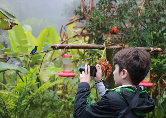
The path will take you through the dense forest of Polylepsis and Gynoxis, the hanging epiphytes give the forest an elfin air, where with good luck, you can spot animals such as the mountain tapir and the puma. You will have a good chance to see caracaras, eagles and condors.
With clear skies, the view is impressive! You will be able to admire the snow-capped Antisana (5753 m / 18875 ft), the fourth highest volcano in Ecuador with imposing glaciers, as well as the snow-capped Cayambe (5789m / 18996 ft) located about 4 km (2,4 miles) north of the Equator Line.
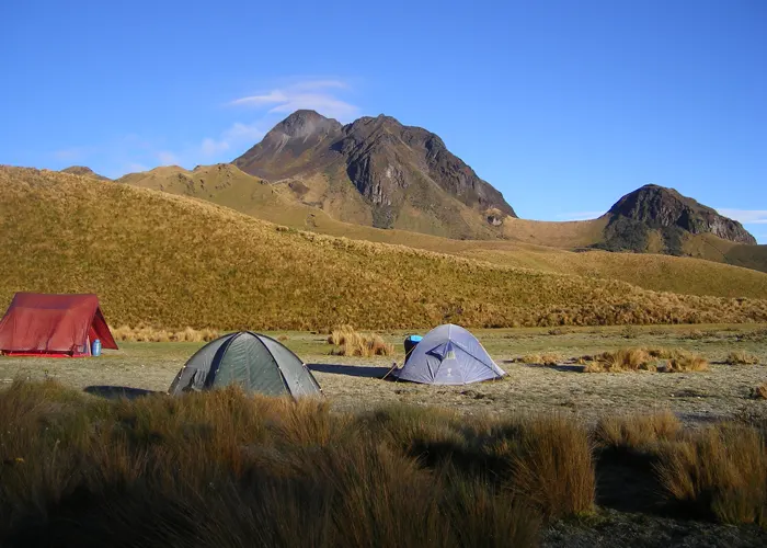
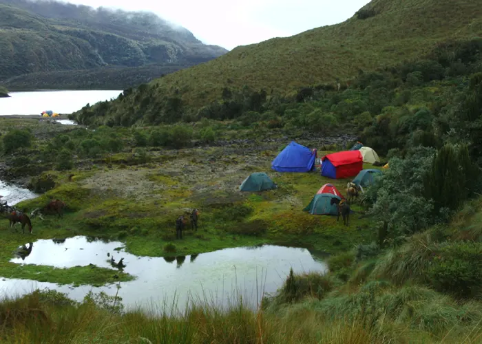
Following the traverse to the East, to a volcanic valley that rises gently past Lake Santa Lucía and up to Paso Santa Lucía (4380 m / 14,370 ft), you can observe waterfowl such as seagulls, Andean lapwings, or teals, as well as wild horses and White-tailed deer. Finally, we descend to one of the camping areas around Antisanilla (4084 m / 13400 ft).
Ascent: 737 m (2420 ft) / Descent: 287 m (950 feet) / Max Altitude: 4829m (15,846 ft)
Activity duration: 7-8 h
Overnight in tent
Meals included: Breakfast | Lunch | Dinner
Once again, a departure will be early, due to the long distance to be covered on this day. The difference in altitude is not that big, but the walk is close to 20 km (12,4 miles). The first part, from Antisanilla to Hacienda Pullurima (3901 m / 12800 ft), is mostly flat and a bit downhill; crossing some of the most beautiful swampy valleys covered with hard vegetation called Cojines. During the walk the view is quite impressive, having the Antisana volcano to the East and in the distance the Sincholagua and Cotopaxi volcanoes.
You will enjoy observing the “King of the Andes”, the majestic condor. Also, this area is well known for large flocks of birds such as Andean lapwings, Andean gulls, and caracaras.
From Hacienda Pullurima, by the way, a huge ranch specializing in bull breeding, the trail runs almost straight up the hillside, pointing to the base of the Sincholagua volcano, and just before Lake Taracocha. Camp at 4206 m (13800 ft).
Ascent: 170 m ( 557 ft) / Descent: 294 m (964 ft) / Max Altitude: 4084 m (13400 ft)
Activity duration: 8-9 h
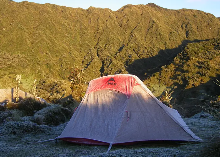
Overnight in tent
Meals included: Breakfast | Box Lunch | Dinner
The sunrise on Lake Taracocha is incredible, with the mighty Cotopaxi just ahead and Antisana behind. The effort is worth it! After breakfast, the team will head to the highest point of the trek: Sincholagua Mountain Pass (4407 m / 14461 ft). The ascent is progressive and will go from a “Páramo” vegetation with tall grass to a rocky moraine. At the pass there is a great panorama of the Cotopaxi volcano and the valley below. The Rumiñahui, Pasochoa, Ilinizas, Corazón volcanoes and, in the distance, the city of Quito is also visible.
During the walk you will find interesting plant species that have adapted to the extreme altitude such as native forests, shrubs and paramo.
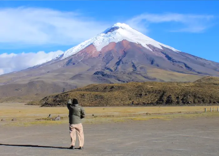
The descent is a great walk through a beautiful green valley that ends at the bed of the Pita river (3749 m / 12300 ft). A short 40-minute walk along the river to the mountain lodge with a spectacular view of the Cotopaxi volcano. The Cotopaxi volcano is the highest active volcano in the world. There are numerous legends and tales surrounding the Cotopaxi Volcano and its neighboring volcanoes.
Ascent: 194 m (636 ft) / Descent: 657 m (2158 ft) / Max Altitude: 4487 m (14724 ft)
Activity duration: 7-8 h
 Overnight in double room
Meals included: Breakfast | Box Lunch | Dinner
Transfer (1.45 h) to the parking area (4500 m / 14763 ft) on the slopes of the Cotopaxi Volcano. Next, hike to the José Rivas high refuge 4800 m (15748 ft) and to the glacier 5000 m (16404 ft). After a break to enjoy the impressive view, you will descend past the car park and into the Lava Valley which follows a gorge towards the plateau. Then a flat walk to the Limpiopungo lagoon, where we will walk around it before being picked up and driving back to Quito.
Ascent: 500 m (1,640 ft) / Descent: 1200 m (3,937 ft) / Max Altitude: 5000 m (16,404 ft)
Duration of the activity: 6 hours
Meals included: Breakfast | Box Lunch