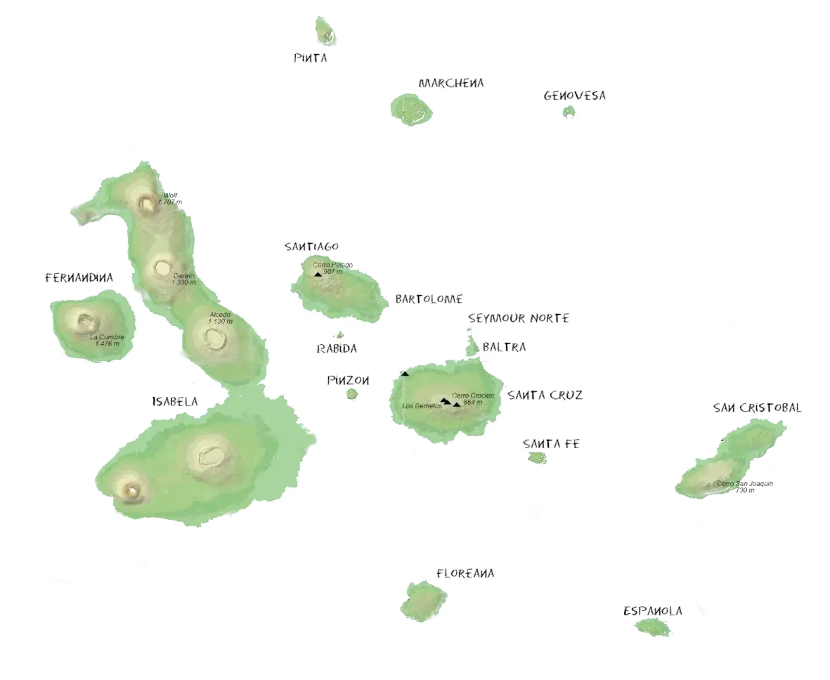
El archipiélago de Galápagos, situado a unos 1.000 km al oeste de Ecuador continental, está formado por más de 100 islas e islotes. Trece de ellas superan los 10 km², mientras que otras seis tienen entre 1 y 10 km². Sólo se pueden visitar 20 de las islas, la mayoría de las cuales sólo son accesibles a través de cruceros. La superficie total del archipiélago es de unos 8.000 km², y 59.500 km² del océano Pacífico forman parte de su territorio.
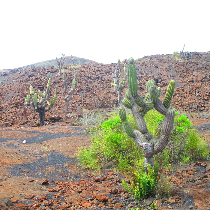
Las Galápagos son uno de los pocos grupos de islas situados tanto en el hemisferio norte como en el sur. Su accidentado paisaje está formado por coladas de lava seca, cráteres, acantilados y volcanes, muchos de los cuales siguen activos hoy en día. El punto más alto es el volcán Cerro Azul (1.689 m), en la isla Isabela. El clima es entre templado y cálido durante todo el año, con temperaturas medias de entre 21°C y 30°C. De diciembre a mayo es más cálido, mientras que de diciembre a mayo es más cálido. De diciembre a mayo es más cálido, mientras que de junio a noviembre es más fresco y seco.
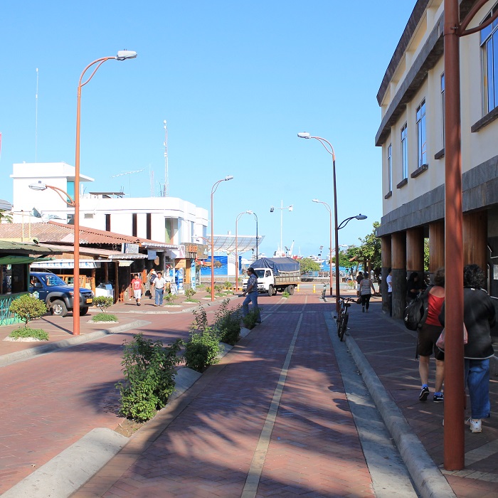
En la actualidad, sólo cinco islas están habitadas: Santa Cruz, San Cristóbal, Isabela, Floreana y Baltra, con una población total de unas 33.000 personas. Puerto Ayora, en Santa Cruz, es la ciudad más grande, mientras que Puerto Baquerizo Moreno, en San Cristóbal, es la capital.
En 2022, el Presidente de Ecuador firmó un decreto por el que se ampliaba la reserva marina en 60.000 km², con lo que la zona protegida alcanza los 198.000 km². Esta medida favorece las rutas migratorias de especies marinas en peligro de extinción.
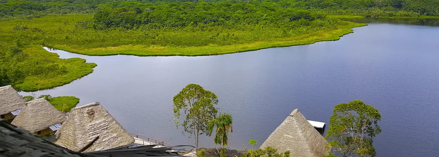
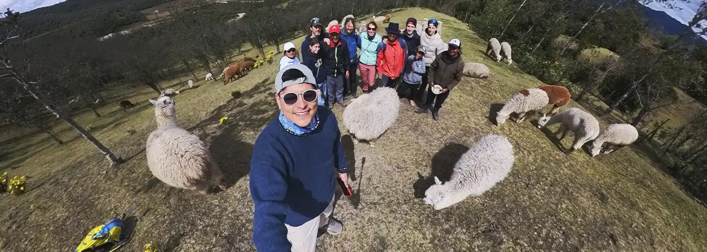
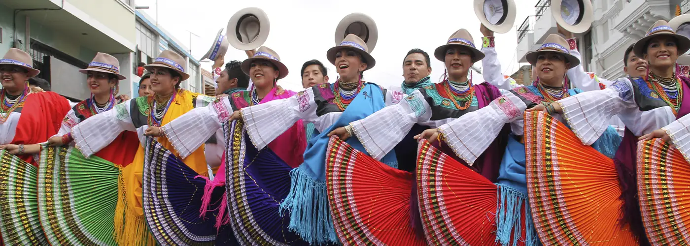
En nuestro sitio web encontrará opciones de viaje para visitar las Galápagos, desde excursiones por las islas y cruceros hasta viajes por el Ecuador continental.