After a two-day trip to Papallacta and a relaxing visit to the spa there, I headed back towards Quito. This time I wanted to take a closer look at Tumbaco and to the recreacional areas in Cumbaya on the way. I had often driven through these two suburbs of Quito, but had not yet visited them. I got off the bus in Tumbaco and walked past many stores and small stands to the main square of the town. As in other towns and villages of the country, the square serves as a small central recreation area, to relax and rest from the hustle and bustle of the surrounding streets. The park, as elsewhere, is lined on one side by a church, in this case a fairly modern one with Tumbaco written on the steps in front of it.
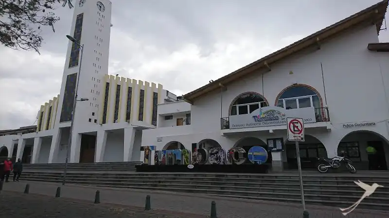
I had quickly explored the parc and I continued towards Cumbaya along a smaller road that runs parallel to the busy and somewhat confusing main road. The road led me past partly fancy modern houses with high fences. After the bridge over the San Pedro River, a pedestrian and bicycle path runs parallel to the road. This I followed a few 100m to the entrance of the Parque Los Algarrobos, which I had stumbled upon coincidentally in Google Maps.
Parque Los Algarrobos
In front of the entrance there are some information panels with texts about the Algarrobo tree and the park of the same name. The park is a kind of remnant of the original natural vegetation of the Cumbayá and Tumbaco valleys, which prevailed here until the middle of the last century. It consisted of typical species of the interandine dry forest such as algarrobos, guarangos, guavas and prickly pears. All of these species can still be found in the park today, which can be explored on short well-marked trails.
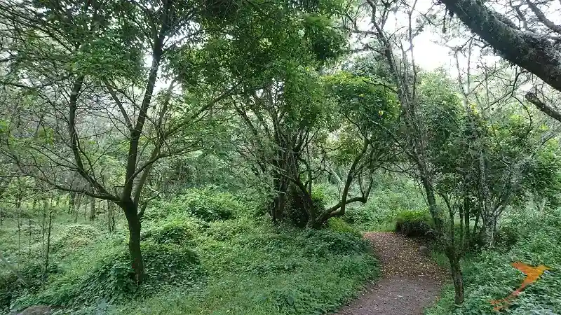
After a few meters, you hardly have the feeling that you are actually in an urban environment – birds chirp, insects fly by and the air smells of forest. One of the paths leads to the river, which even seems relatively clean here although it flows through some suburbs of Quito.
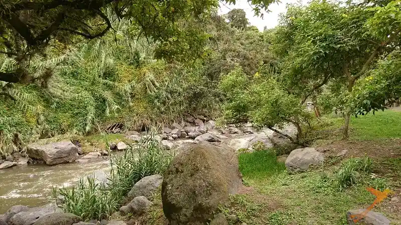
The Algarrobo is a nesting site for turtle doves and its yellow flowers attract birds such as the yellow-bellied cardinal and blackbirds. It is also an important source of shade, protecting vegetation from the scorching high-altitude sun. Unfortunately, in recent years many algarrobos have been cleared for charcoal.
On the trail of the chasquis
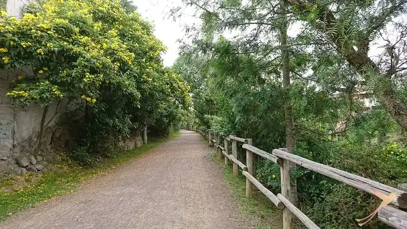
I then set out on a walk along the Chaquiñan trail. Originally, this route was part of the courier network of the Inca Empire. On the network of paths, which according to some sources stretched over 1600 km from the coast to Quito, the chasquis, the messengers, delivered packages or news like postal couriers. That is, they ran to a tambo where they could rest and there the next courier was already waiting to take the package or message and carry it on.
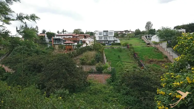
Today this Chaquiñan is a popular bicycle and walking path. On the way you can always enjoy the view over the gorge with the river and there is the possibility to drink coffee and have a snack.
I walked until the end of the path in the center of Cumbaya.
Parque el Reservorio
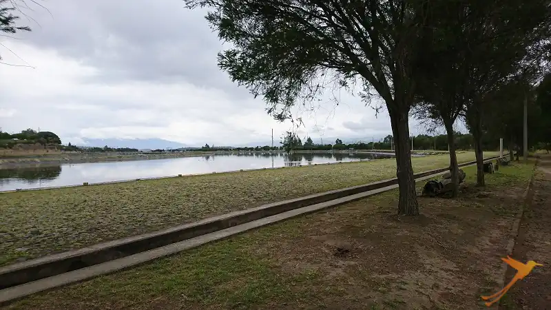
Also on Googlemaps I had discovered the Parque del Reservorio, which I also wanted to explore. This reservoir belongs to the Empresa Electrica of Quito (EEQ) and serves on the one hand for power supply and is on the other hand a local recreation area in Cumbaya. Along the lake you can go jogging or walking and enjoy the view of Cumbaya and the surrounding area.
The hydroelectric power plant is already more than 50 years old and at the time of its construction it was the largest plant of its kind in the whole country. Since access to these areas is restricted, a high level of biodiversity has been able to develop here. The reservoir is part of the ecological corridor of Empresea Electrica de Quito and a territorial development project. As an artificial wetland, it now represents an important habitat for various bird species. Among them are, for example, the Black-headed Phoebe Flycatcher, the Magellan Siskin, the Yellowlegs, as well as the Rusty-bellied Flowerpiercer. Since September 2020, flora and fauna have been recorded as part of an agreement with the Water Protection Fund (Fondo de la Protección del Agua, FONAE). This information is intended to provide a basis for a corridor for environmental interpretation. This is to extend from the headwaters of the rivers to the canals and reservoirs of the EEQ.
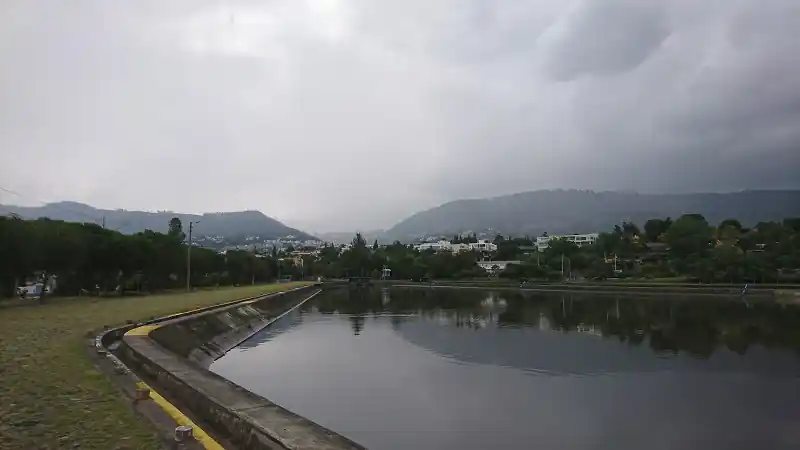
During my visit to Parque del Reservorio, it had started to rain, so I didn’t extend my walk that much.
All in all, it was a nice experience to get to know these three recreational places of Cumbaya. They are easy to reach from Quito. You can visit them, for example, during a stroll through the streets of Cumbaya or during a stopover before entering Quito if you are coming from the east.
