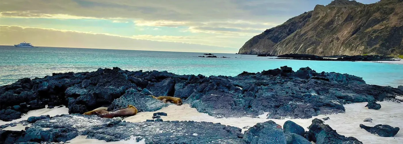
A couple of weeks ago, a friend and I decided that we wanted to attempt climbing Ecuador’s highest mountain, Chimborazo. With an altitude of 6300 meters above sea level this mountain is an actual giant. Therefore, it was clear from the beginning that prior preparation is needed. For that reason we planned to climb at least one volcano the 3 weeks prior to our desired assent to Chimborazo. This volcanoes are namely Rumiñahui (4631m), Imbabura (4630m) and Iliniza Norte (5126m).
So as mentioned above, this weekend was about climbing the Imbabura volcano close to Ibarra, in northern Ecuador. We have read before that it is a rather untechnical climb which could be attempted without a guide.
We left in the early hours of Saturday and took the bus from Carcelen to Otavalo where we arrived around 11.30. The plan was to wander around the indigenous market first and eventually go to our hosteria a little outside of Otavalo. After enjoying the beautiful atmosphere and a delicious Hornado, we left the market and went to the hosteria.
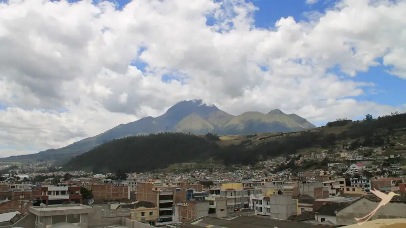
It was located on a hill outside the city and provided an incredible view towards our challenge for the coming morning, Imbabura. The view was nice but we already noticed that the summit and thus the last 400 meter or so were covered in clouds, which would make it next to impossible to climb all the way. However, we stayed positive and waited until the next morning to take the decision to try the ascent or not.
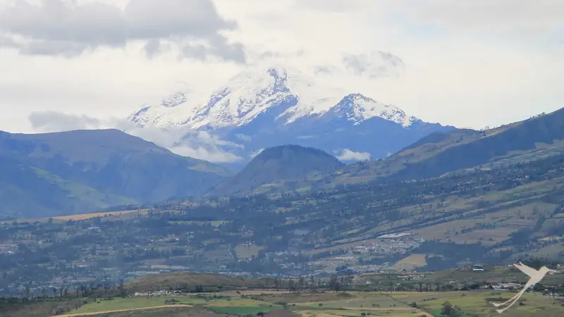
The next morning the conditions looked promising. We woke up enjoying a clear view to Imbabura and even Cayambe, the third highest volcano of Ecuador, was visible. Therefore we decided to continue as planned and made our way to Ibarra, where there was a hostel from which we could start the hike.
We arrived at the hostel and received a warm welcome of the owner who proudly told us that she was running the business for 45 years already and showing of old newspaper articles about the hostel and her family. We had a coffee, dropped some of our stuff and started the hike which was expected to be a 7-9 hour roundtrip.
The hike started of fairly easy, walking uphill on a dirt road for the first two hours. We passed along little houses with farmers, taking care of their crops and animals. By the time we reached the end on the road however, there were no houses in sight anymore and we started a significantly steeper ascend towards, the summit of the mountain.
Unfortunately, by that time, the weather shifted from a nice and sunny morning to thick clouds that where hanging on the mountains slopes. Visibility became really limited and soon we found ourselves navigating through dense fog with only little knowledge of where we and where we needed to go. We continued walking along what we thought was the right pass, however, this thought proofed to be wrong after another 1.5 hours.
At that point it quickly became clear to us, we lost the way and had no idea where we were. Through the fog we saw something that looked like a path so we started walking towards it only to notice that there was a fairly deep ridge that could not be crossed. Unfortunately we already walked so far that it did not make any sense to go back the same way in search of the way because we were running out of daytime. We checked on the map and were quite convinced that we figured out the location of the summit. Therefore we decided to just take the most direct way, straight up a really steep hill covered in grass as high as our hips.
If that was a good decision, I doubt it because it was a hell of an ascent. However, two ours a lot of swearing later, we reached the top of that hill. However, to our disappointment, we still could not see any indication of the way. In addition of that it was almost 4 o’clock already and the conditions did not seem to improve any time soon.
For that reason, we decided that its best to make our way back since nobody of us was too eager to spend a night high up in the mountains. We were a little disappointed but also acknowledged that, especially without a guide, we had no choice reaching the summit without a considerable amount of risk. Therefore, the decision to return was the right one, besides the fact that our route took around 7 hours already.
So to sum it up, our trip to Imbabura was not really successful. However, you should not underestimate the force of nature and especially if you don’t know the route taking good care to avoid dangerous situations.