In September 2025, we tackled Ecuador‘s Ruta de los Volcanes for the first time, and even though I know the Ecuadorian Andes pretty well, this experience hit different. Hiking through this volcanic chain for multiple days touches your soul in a primal way that’s hard to put into words.
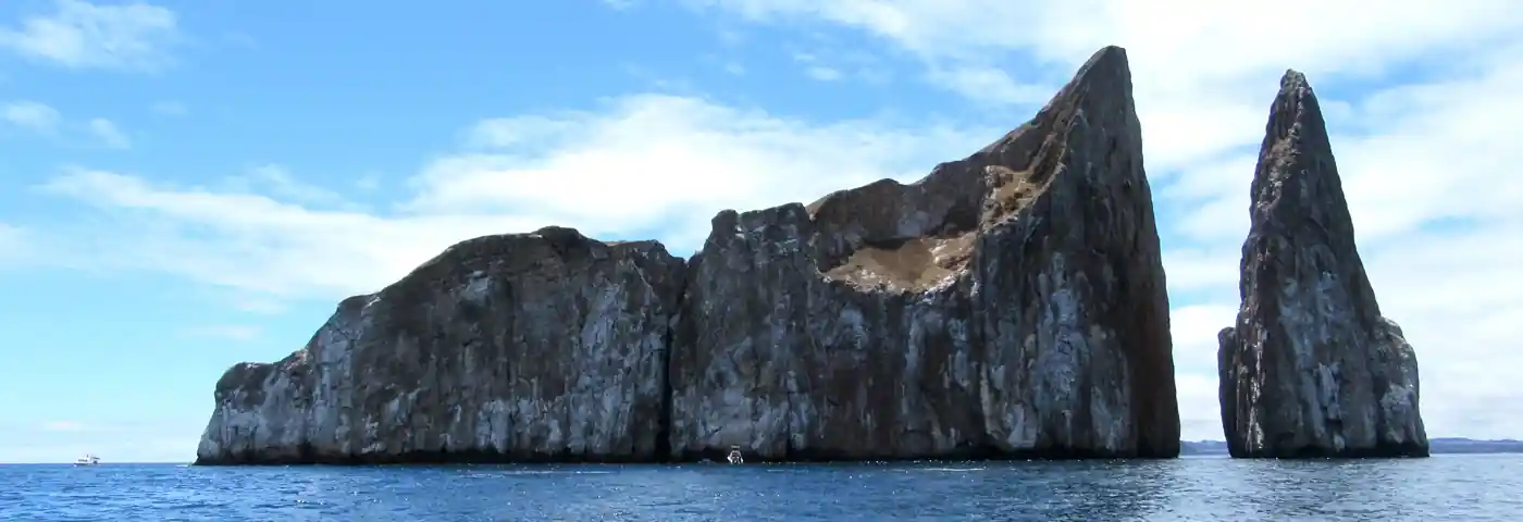
Along one of the planet’s most spectacular stretches — about 125 miles south of Quito on what’s known as the “Avenue of Volcanoes” — dozens of volcanoes rise like ancient sentinels. Cotopaxi, at 19,347 feet, ranks among the world’s highest active volcanoes. Chimborazo, reaching 20,564 feet, is the farthest point from Earth’s center, making it technically “taller” than Everest in that respect. Antisana, wild and often shrouded in clouds, hosts spectacular wildlife including condors lazily gliding over jagged cliffs.
For the Andean peoples — the Kichwa, the Puruhá, and countless other communities — these mountains aren’t just geological formations. They’re Apus, sacred guardians, sources of life, and bridges between the earthly and cosmic realms. Climbing these peaks isn’t just about physical achievement; it’s a quiet conversation with a heritage that stretches back millennia.
What Makes Ecuador's Volcano Route So Special?
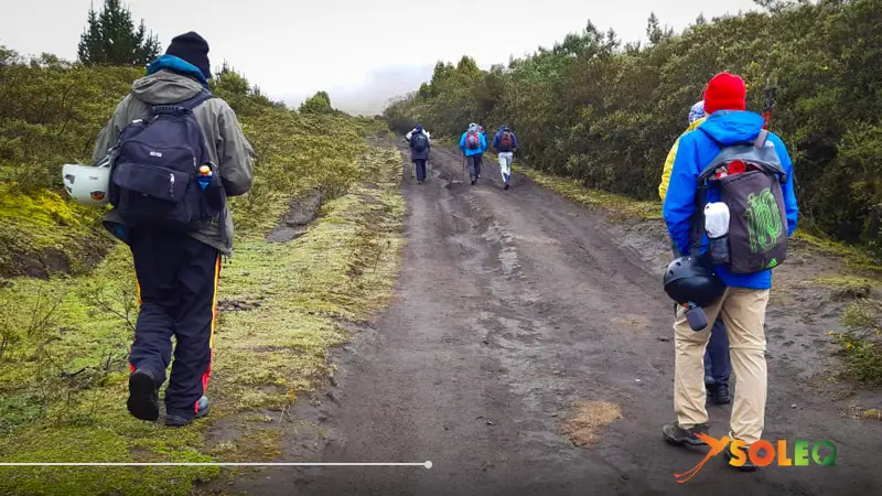
The Andes pack multiple dimensions into a tight space. Three elements make this place unique: First, the sheer density of volcanic cones — over thirty volcanoes line up along 125 miles, including eight snow-capped giants, making this one of the most volcanically active corridors on Earth. Second, the incredible landscape diversity: fertile valleys give way to páramos above 13,000 feet, alternating with national parks where pumas and condors roam. Third, the cultural depth — every village along the route carries memories of peoples who’ve considered these mountains sacred for thousands of years.
Unlike crowded European alpine destinations, here you encounter nature that hasn’t been tamed.
Where Is Ecuador's Volcano Route Located?
The route sits in Ecuador’s inter-Andean corridor, what explorer Alexander von Humboldt dubbed the “Avenue of Volcanoes” in the 19th century. It stretches roughly 125 miles south of Quito through the provinces of Pichincha, Cotopaxi, Tungurahua, and Chimborazo. The peaks range from 13,000 to 20,564 feet in elevation.
Your closest starting point is Quito, where the Panamericana Sur highway leads straight into the heart of the volcanic chain. The cities of Latacunga and Riobamba serve as ideal waypoints along the route.
Getting to the Volcano Route from Quito
From Quito, the route is easily accessible via the Panamericana Sur. For independent travelers, buses leave from Terminal Terrestre Quitumbe every 30 minutes heading to Latacunga — the ride takes about two hours and costs between $2-4. From Latacunga, you can arrange shared taxis to Cotopaxi National Park for $5-8 per person.
If you’re traveling by private vehicle or rental car, you’ll need about two hours from Quito to the park entrance. The Panamericana is fully paved; side roads into the national parks are gravel roads that can get slippery when it rains.
My recommendation: For a multi-day traverse of the entire route, an organized custom tour makes the experience significantly deeper — a driver knows the back roads, and an expert explains the geological and cultural context that the landscape alone can’t convey. The time you save from not planning logistics can be invested directly in experiencing the landscape.
Climbing Ecuador's Volcano Route: Distance, Duration & Difficulty
The Cotopaxi summit attempt covers about 2.5 miles from Refugio José Ribas with roughly 3,000 feet of elevation gain. Most climbers complete this ascent in five to eight hours — depending on acclimatization, fitness, and weather conditions.
In practice, though, altitude transforms every step into its own challenge. Above 16,000 feet, your body works differently: the air contains significantly less oxygen, pace inevitably slows, and even trained mountaineers report unexpected exhaustion after short sections. My September experience confirmed that the deciding factor isn’t physical fitness alone, but the quality of acclimatization in the days beforehand.
For technical trekking and glacier travel — like on Cotopaxi and Chimborazo — experience with crampons, ice axes, and rope work is essential. Chimborazo ranks as one of South America’s most demanding high-altitude climbs. Antisana, due to its remoteness and weather instability, challenges even experienced mountaineers. For sightseeing without summiting, many areas of the route are accessible to active hikers with moderate fitness.
Best Time to Visit Ecuador's Volcano Route
Rainy Season (October through May):
The greener season transforms the páramos into luminous emerald and significantly reduces visitor crowds. Changeable weather is common but not constant. Summit attempts become more challenging due to worse snow conditions. December through February is the heaviest rainy period.
The September when I traveled blessed me with clear morning hours and views of Cotopaxi that felt like a gift: the snow-white cone against a deep blue sky, sharp as a knife’s edge. Clouds regularly rolled in by afternoon — classic Andean weather that actually amplified the landscape’s drama.
What to Pack for Your Volcano Adventure
Layering is fundamental on Ecuador’s Volcano Route: temperatures swing between pleasant 64°F in valleys to well below zero on glaciers. Thermal underwear, an insulating fleece pullover, and a waterproof, windproof outer jacket are the minimum.
Sun protection with very high SPF is essential: the Andean sun burns at high altitude with extraordinary intensity, even through cloud cover. High-quality sunscreen, UV-protection sunglasses, and a hat for wind and sun protection belong in every backpack.
Ankle-high hiking boots with good tread are mandatory — for technical high routes, crampons and an ice axe are required, which can be organized through local mountain guides and equipment rental in Quito or Latacunga.
Acclimatization deserves special attention.

Spend at least three to four days in Quito (9,350 feet) before any summit attempt. Drink plenty of water, eat light, and listen to your body. Coca tea is traditional support but doesn’t replace genuine acclimatization.
Guided Tour or Going Solo?
Organized Tour (recommended):
Advantages: The Volcano Route is logistically complex: multiple national parks require separate permits, technical summit routes require certified mountain guides, and weather shifts can demand spontaneous replanning. A professionally organized tour solves all this seamlessly. An experienced mountain guide unlocks geological, historical, and cultural contexts that you simply won’t perceive alone.
Disadvantages: More structured schedules reduce spontaneous decisions.
Independent:
Advantages: Complete flexibility in pace and the ability to make unplanned stops.
Disadvantages: Permits, weather windows, glacier conditions, and your own body’s altitude reactions must all be self-managed. Without a certified mountain guide, access to some summit areas isn’t permitted.
My recommendation: For your first encounter with Ecuador’s volcanic chains, a professionally organized tour makes the experience safer and more unforgettable.
Who Should Skip the Volcano Route?
I’d advise against it if you:
- Travel without acclimatization: Anyone who goes from plane to summit attempt risks severe altitude sickness. At least three to four days in Quito is the absolute minimum.
- Have altitude sickness history or heart/respiratory conditions: Without medical clearance, altitudes above 16,000 feet are a serious risk.
- Seek technical mountaineering without experience: If you’ve never used crampons, don’t make a summit your first high-mountain experience.
- Have no tolerance for changing weather: Andean weather can shift drastically within minutes.
With good planning and professional guidance, many self-described “non-athletic” people immensely enjoy the lower sections of this route.
Entrance Fees and Hours

Cotopaxi National Park: Open daily 8 AM–3 PM (mountaineers earlier by arrangement). Entrance: $5 USD. Refugio José Ribas (15,953 feet) offers overnight accommodations; reservation strongly recommended.
Chimborazo National Park: Open daily 8 AM–5 PM. Entrance: $5 USD. First Refugio at 15,748 feet, Second at 16,404 feet.
Antisana: Access via authorized agencies with prior environmental authority permission.
Arrive early: peak hours are 10 AM–2 PM. Early hours guarantee better visibility and more intimate encounters.
Integrating the Route into Your Ecuador Trip
15–20 Day Ecuador: Two to three days Quito acclimatization, two to three days Volcano Route (Cotopaxi, Chimborazo), continue to Cuenca, then Amazon and Galápagos. The volcanic route builds altitude tolerance and creates a foundation for all following experiences.
20–30 Day South America: From Quito via Cuenca to Peru — Cajamarca, Huaraz, Cusco. This sequence builds contextual understanding of Andean culture that exponentially enriches your experience.
Frequently Asked Questions
How much time do I need?
A day trip from Quito works for a first impression. Honest recommendation: at least three to four days for Cotopaxi, Chimborazo, and Antisana. Summit attempts need additional acclimatization days.
Do you need a guide?
Not legally required for parks below glacier zones. For summit attempts on Cotopaxi and Chimborazo, a certified guide is required. Without an expert, you’ll miss 80% of the cultural and geological richness.
What altitude sickness symptoms should I watch for?
Common symptoms: headaches, nausea, dizziness, exhaustion. These at 10,000-13,000 feet often subside with rest. Serious symptoms like confusion or shortness of breath at rest require immediate descent.
Do you need a guide?
Generally yes. Park areas are well monitored. Important: Cotopaxi is active — consult Instituto Geofísico reports before any trip.
The moment when Cotopaxi appears before your eyes — sharp, white, perfect against deep blue sky — is almost surreally beautiful. These volcanoes teach that greatness doesn’t need to be loud. Sometimes it just stands there, silent and complete, waiting for us to stop talking so we can listen.
If this has stirred something in you, if you want to experience Ecuador’s sacred mountains with respect, contact us at Soleq Travel. We design itineraries where places like the Volcano Route receive the time and respect they deserve.